|
| *****SWAAG_ID***** | 142 |
| Date Entered | 25/02/2011 |
| Updated on | 25/02/2011 |
| Recorded by | Stephen Eastmead (admin) |
| Category | Earthworks |
| Record Type | Archaeology |
| Site Access | Public Access Land |
| Record Date | 25/02/2011 |
| Location | Gale Head Moor, North of Low Faggergill, Arkengarthdale |
| Civil Parish | Arkengarthdale |
| Brit. National Grid | NY 97996 06285 |
| Altitude | 409m |
| Record Name | Shallow scooped earthwork |
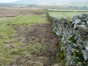
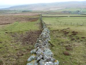
| Record Description | This earthwork pre-dates the enclosure dry-stone walls but isn't thought to be pre-historic.
|
| Dimensions | 10-12 m across |
| Image 1 ID | 353 Click image to enlarge |
| Image 1 Description | Location OS map |  |
| Image 2 ID | 354 Click image to enlarge |
| Image 2 Description | Eastern half of earthwork |  |
| Image 3 ID | 355 Click image to enlarge |
| Image 3 Description | Full earthwork |  |